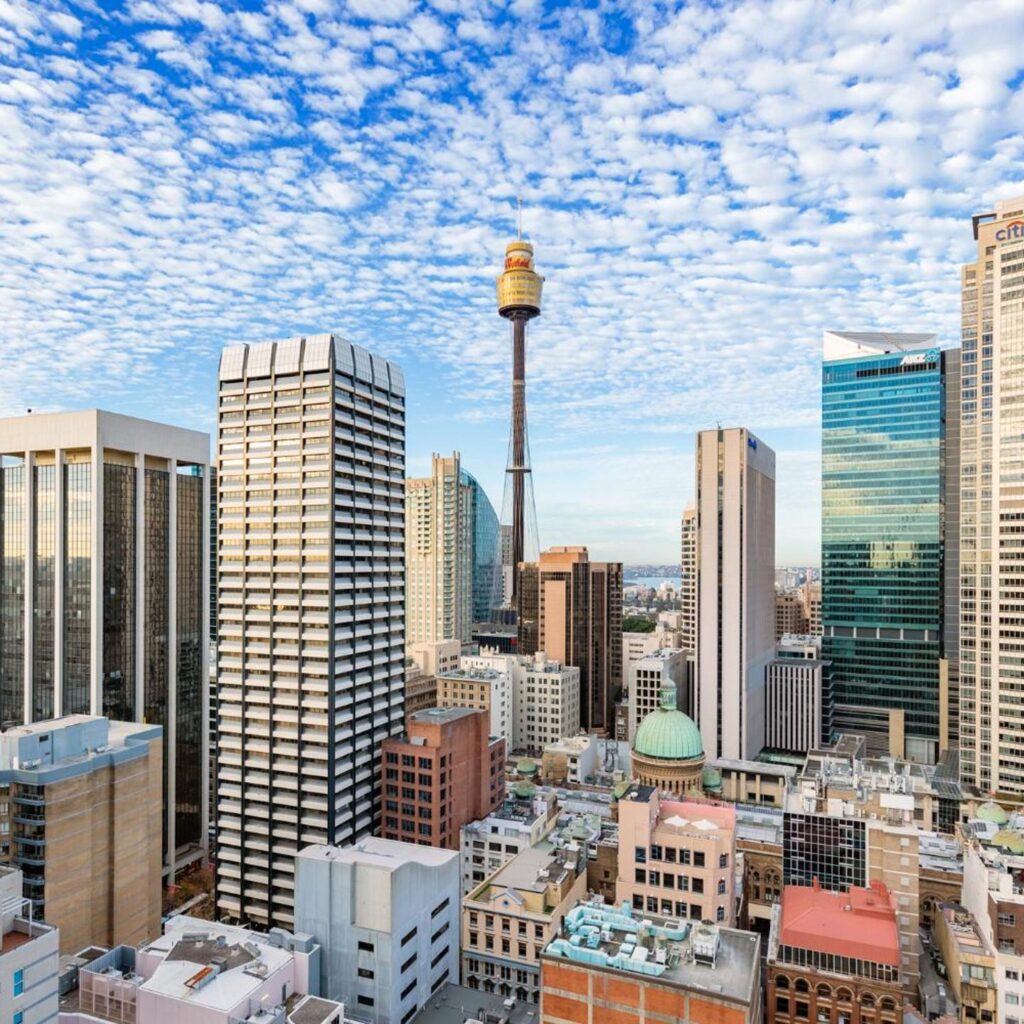
The closest train station to 20 Bond Street, Sydney is Wynyard Station, about 200 metres and a 4-minute walk away on the corner of George and Carrington Streets. If you’d rather take the Metro, Martin Place Station is roughly a 9-minute walk south along Pitt Street. Light rail (Bridge Street stop), Circular Quay ferries, and several bus stops also reach the building, which sits at the corner of Bond and Pitt Streets in Sydney’s financial district, next to Australia Square.
20 Bond Street is a 31-storey A-grade office tower with roughly 38,000 square metres of space, home to tenants including the Workspace365 co-working suites on levels 4 and 5. Because it sits inside Sydney’s CBD transport core, there are five realistic ways to arrive: train, metro, light rail, ferry, or bus, plus onsite parking if you’re driving in.
Table of Contents
Which train station is closest to 20 Bond Street?

Wynyard Station is the closest train station, about 200 metres from the building, a 4-minute walk heading west to George Street. Wynyard is a major interchange served by five Sydney Trains lines: the T1 North Shore & Western Line, T2 Leppington & Inner West Line, T3 Bankstown Line, T8 Airport & South Line, and T9 Northern Line. The upper platforms handle North Shore services, and the lower platforms serve the City Circle. Lifts, escalators, and multiple street-level entrances make it one of the more accessible CBD stations.
The next-closest heavy-rail option is Circular Quay Station, roughly a 10-minute walk east along Bridge Street, past several CBD landmarks.
Is there a Sydney Metro station near 20 Bond Street?
Yes. Martin Place Station, on the Sydney Metro City & Southwest line, opened in August 2024 and sits about a 9-minute walk south of 20 Bond Street along Pitt Street. It’s a newer alternative to Wynyard, and it’s worth checking alongside Wynyard when you plan a trip, since general-purpose map apps don’t always default to it because it’s a comparatively recent addition to the network.
What’s the closest light rail stop?
The Bridge Street light rail stop, on George Street, serves the L2 and L3 lines to the CBD and South East (Randwick and Kingsford) and is within a few minutes’ walk of Wynyard Station, putting it within easy reach of 20 Bond Street as well. Bridge Street is one of the first stops on those lines heading into the city, so services run frequently through the middle of the day, not just peak hours.
Can you reach 20 Bond Street by ferry?
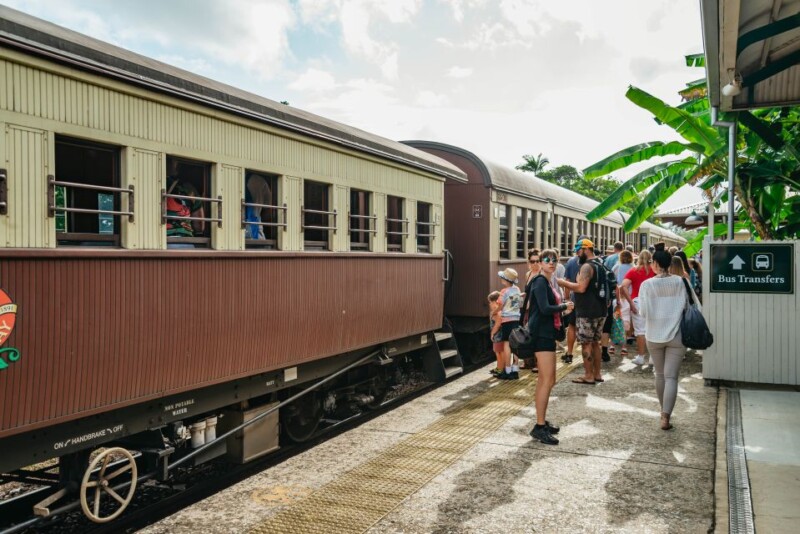
Circular Quay is the nearest ferry hub, about 565 metres, a 10-minute walk east along Bridge Street, with services to Manly, Balmain, Parramatta, and other harbour destinations. It’s a pleasant walk past Australia Square and several CBD landmarks, and the ferry is one of the few Sydney commutes worth taking for the view as much as the timetable.
What bus stops serve 20 Bond Street?

Bus stops at Bridge Street and Exchange Square are both within a 2-minute walk of the building. Buses no longer run directly along George Street through this stretch of the CBD; that corridor is now light rail only, so services to this area typically use Elizabeth Street, York Street, or the Bridge Street stops instead. Route numbers on these corridors change periodically, so check the exact current routes and live departure times on the Transport for NSW journey planner or Google Maps rather than relying on a fixed list.
Where can you park near 20 Bond Street?
Wilson Parking’s 20 Bond Street car park is accessed off Abercrombie Lane and operates Monday to Friday, 7am to 7pm, undercover, secure parking built into the building itself. Rates are colour-coded by duration:
- 1/4-hour: Pink
- 1/2-hour: Purple
- 1-hour: Orange
- 2-hour: Green
- 3-hour: Sky
- 4-hour: Red
- 10-hour: Yellow
- Unlimited: Light brown
- Disabled parking: Blue
All transport options at a glance
| Mode | Stop/station | Distance | Walk time |
|---|---|---|---|
| Train (Sydney Trains) | Wynyard Station | ~200 m | ~4 min |
| Metro | Martin Place Station | ~650 m | ~9 min |
| Light rail | Bridge Street stop | close to Wynyard | a few minutes from Wynyard |
| Train (alternative) | Circular Quay Station | ~600 to 700 m | ~10 min |
| Ferry | Circular Quay wharf | ~565 m | ~10 min |
| Bus | Bridge Street / Exchange Square | on-street | ~2 min |
| Car | Wilson Parking, 20 Bond St (Abercrombie Lane) | on-site | N/A |
Distances are approximate street-walking distances, not straight-line measurements, and will vary slightly depending on which entrance or exit you use. For live, interactive directions from your exact starting point, Google Maps or the Transport for NSW trip planner are the easiest way to locate the fastest route and get turn-by-turn directions.
What’s around 20 Bond Street?

20 Bond Street sits right next to Australia Square, the circular office-and-retail tower with its own dining precinct, and it’s a walkable distance from the Sydney Observatory. For coworking or meeting space inside the building itself, Workspace365 occupies levels 4 and 5, with a business lounge and event space.
FAQ
What train lines stop at Wynyard Station?
Wynyard is served by five Sydney Trains lines: T1 North Shore & Western, T2 Leppington & Inner West, T3 Bankstown, T8 Airport & South, and T9 Northern. That makes it one of the best-connected stations in the CBD.
Is Martin Place Metro closer than Wynyard Station?
No. Wynyard is closer at roughly 200 metres/4 minutes, versus about a 9-minute walk to Martin Place Metro. Martin Place is still worth checking if your trip is easier via the metro line and avoids a change of train at Wynyard.
How do I pay for public transport to get here?
Use an Opal card (or a linked contactless debit/credit card) on trains, metro, light rail, buses, and ferries. Daily and weekly fare caps apply automatically, so there’s no need to buy a separate ticket for each leg of a multi-mode trip.
Can I walk to Circular Quay from 20 Bond Street?
Yes, it’s about 565 metres, roughly a 10-minute walk east along Bridge Street, past Australia Square and several CBD landmarks. It’s a flat, well-signed route.
Sources and methodology
Transport lines, stop names, and walking distances were checked in July 2026 against Transport for NSW, published station and light-rail line information, and the building’s own listings from Wilson Parking and Workspace365. Walking times are estimates based on published distances at an average pace and may vary by route and traffic signals. This page includes one sponsored/affiliate link (marked “sponsored” in the image caption above); it does not affect which transport options we recommend.
Last updated July 2026: corrected the Circular Quay ferry-walk distance (previously listed inconsistently as 350 m in one place and a 10-minute walk in another; it’s actually about 565 m, or 10 minutes), added the Sydney Metro Martin Place option that opened after this page was first published, updated Wynyard’s full line list, and replaced two conflicting, unverifiable light-rail distance figures with a single checked estimate.